

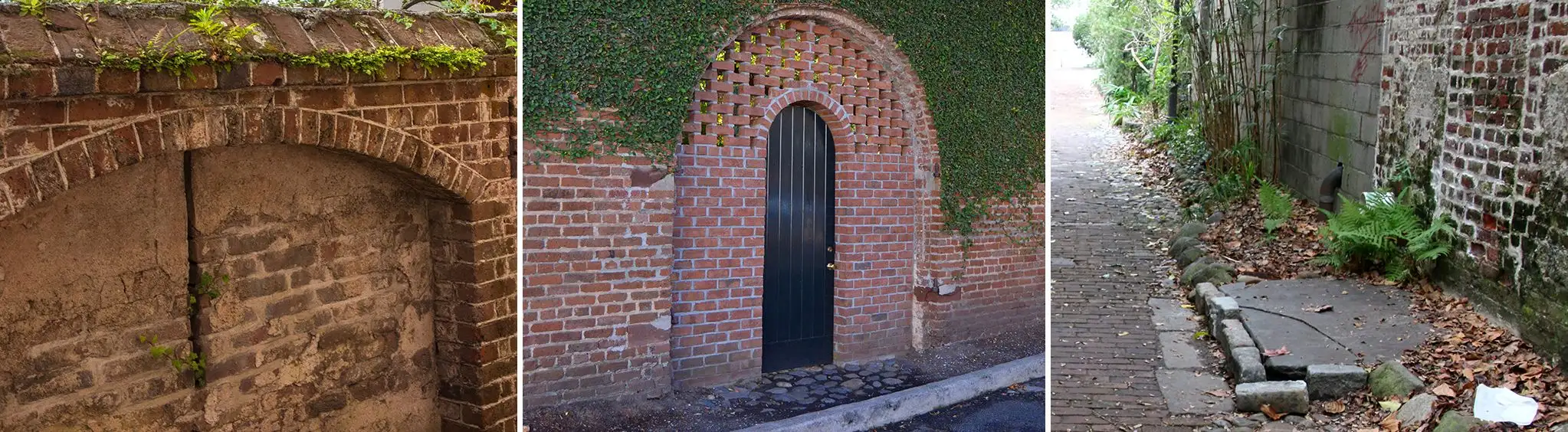
Charleston was a walled fortress city between the years of 1690 and 1720, a period of constant danger from hostile French and Spanish invaders, Native American tribes, and pirates.
The best contemporary view of the walls comes from a map and survey by Edward Crisp, dated approximately 1704. The illustration below is an adaptation of the Crisp Map, from a reproduction used courtesy of Historic Charleston Foundation. The Crisp Map is substantiated by other contemporary drawings which verify the general design without providing the interior details of Crisp. In all drawings, the walls are depicted as straight and sharply angular, with no evidence of haphazard construction. While the bastions may have begun as crude earthworks, it seems clear that by the early 18th century they had been engineered and refined to a fairly high degree of sophistication.
Related Points of Interest:
Ashley River
Castle Pinckney
Charleston Distilling Company
Charleston Harbor
Charleston Tea Garden
Charleston Visitor Reception and Transportation Center
Colonel John Stuart House
Colonial Lake
Daniel Island
Estuary Beans & Barley
